
Location-Based Audio Storytelling: How Stories Learned Where You Are
Location-based audio storytelling depends on one trick: the story has to know where you are standing. For most of the medium’s history it was the hard part, and artists solved it with walking pace, infrared beacons, phone numbers on signs and backpacks full of computer.
Quick answer
What is location based audio storytelling?
It plays recorded stories when a listener reaches a particular place, so narrative and site line up. Early works used backpack GPS units, like Teri Rueb’s Trace (1999), or numbers on street signs, like Toronto’s [murmur] (2003). Later, smartphone apps triggered audio from GPS pins along a route.
What location-based audio storytelling means
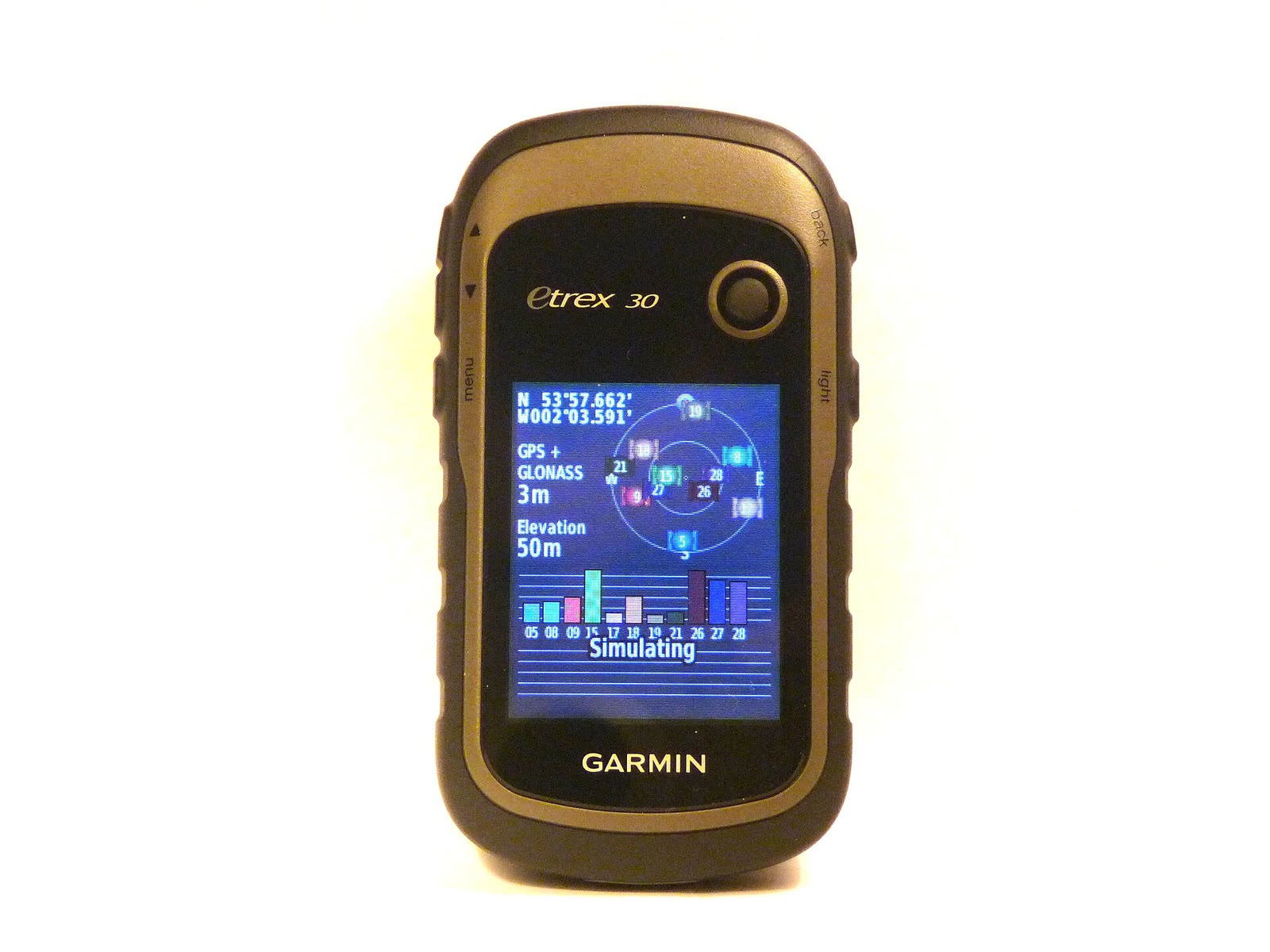
The writer Amy Spencer, in a 2013 history of the field, puts it simply: “Location-based or geo-locative writing connects a reader directly to a story.” Because the listener chooses the path, “The experience is typically non-linear as this is an experience across real-world locations.”
What changed over the decades was the trigger, the way a recording learns it is time to play. Making one is a separate craft, covered in our guide on how to make an audio walk.
Before GPS: pace, beacons and phone numbers
The first answer was to let the listener’s feet keep time. Antenna Theater’s Walkman pieces of the 1980s asked audients to press play and walk, and timing drifted. In 1983 Chris Hardman wrote of a future without “time discrepancies due to motor speed and/or tape stretch as is the case with currently available walkmans.”
Infrared came next. Radio Interference (1987) used “infrared headset receiver technology, live actors, and ‘audient’ interactions with 13 different theater events.” In Euphor!um, the Kubla Khan dream walk, “As you enter each new chamber, an infra-red beacon triggers your digital audio player to emit the site-specific soundscape.” The device side of that story is in how Antenna’s devices changed from Walkman to iPhone.
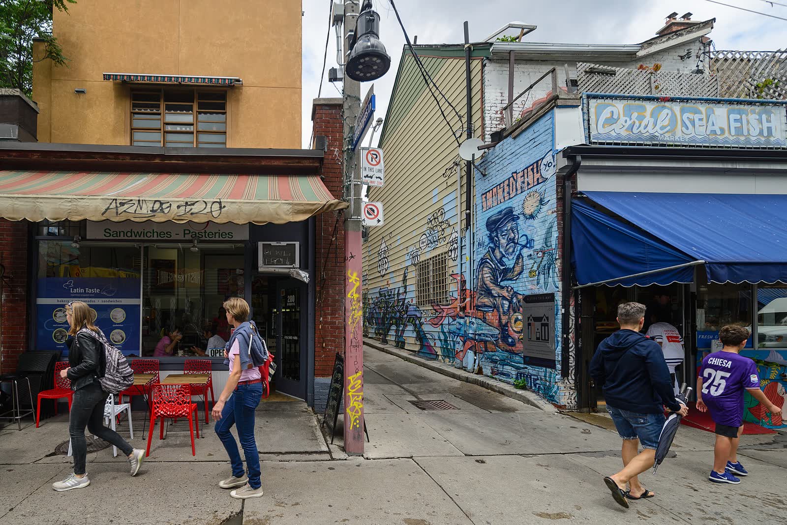
Outdoors, the cheapest trigger was a sign. [murmur], made by “artists Shawn Micallef, James Roussel and Gabe Sawhney,” launched in 2003 in Toronto’s Kensington neighbourhood, Vancouver’s Chinatown and Montreal. At each sign “you can dial up a number provided on the sign and listen to recorded stories,” most of them one to two minutes long.
May 2000: GPS gets ten times better
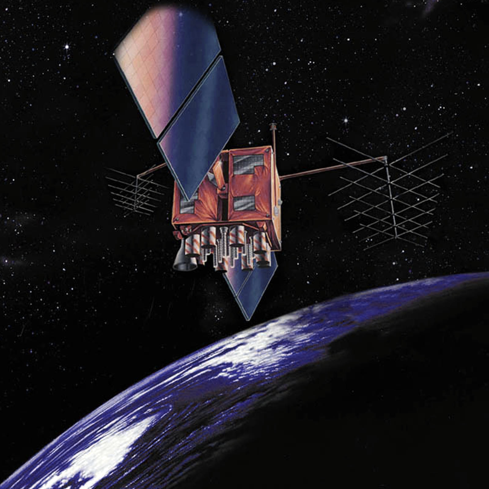
GPS existed long before 2000, but civilians got a blurred version. The US government’s page on Selective Availability defines it as “an intentional degradation of public GPS signals implemented for national security reasons.” It “ended a few minutes past midnight EDT after the end of May 1, 2000.”
The White House announcement spelled out the effect: “all the people who’ve bought GPS receivers for boats, cars, or recreation will find that they are ten times more accurate.” For GPS audio art, that meant a story could be pinned to a corner rather than a neighbourhood.
The first GPS stories
Trace, Yoho National Park, 1999
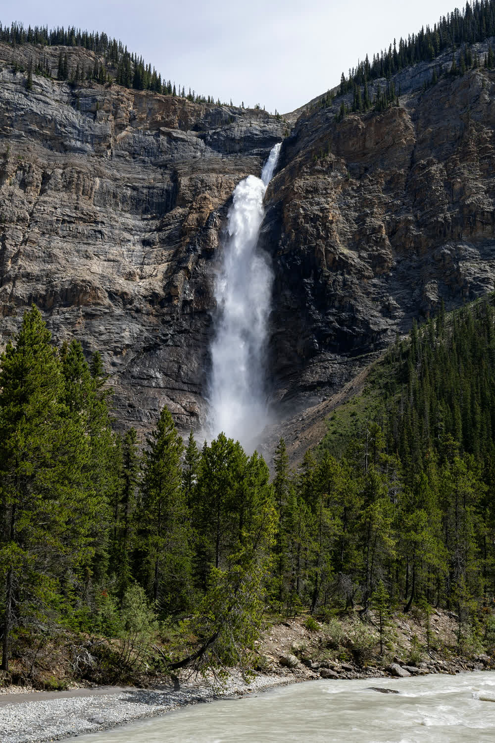
Teri Rueb’s Trace came first, and it came before the switch. Developed at the Banff Centre from 1996 to 1999, it was “site-specific to the network of hiking trails near the Burgess Shale fossil beds in Yoho National Park.” Hikers carried “a knapsack equipped with various technologies including a small computer, headphones, and a global positioning satellite receiver.”
Trace was built in the years when civilian GPS was still deliberately degraded. It was a memorial piece, and “playback is at low volume so that memorials intermingle with ambient sounds of the natural environment.”
34 North 118 West, Los Angeles
Around 2002 to 2003 (sources differ on the year), Jeremy Hight, after a call from Jeff Knowlton, worked on a piece that “triggers audio files tied to physical locations in a four-block area of Los Angeles and its layers of history.” It “ran on a slate laptop and was outdoors, triggered by satellite and latitude and longitude.” Hight calls it “the first locative narrative project,” which is his own claim.
1831 Riot!, Bristol, 2004
In Bristol’s Queen Square, Ralph Hoyte and Liz Crow wrote a play for the square itself. Roaring Girl’s page for 1831 Riot! calls it “a world-first voice-play for mobile computer technology,” the makers’ own claim, in which “Each scene is written for a specific location within Queen Square.” It was a flagship of Mobile Bristol, run by Hewlett Packard Laboratories and the University of Bristol.
Hoyte recalled in 2018 that the play “was originally made for the HP Palmtops,” which were rare in 2004. In 2018 it was remade as a free app, broken into “14 mini-plays.”
Games and bicycles: Blast Theory
The British group Blast Theory showed that location didn’t have to mean satellites. Uncle Roy All Around You (ICA London, June 2003) gave street players handheld computers and 60 minutes to find Uncle Roy, and the game “doesn’t use GPS,” working out position from the map view instead.
Rider Spoke was “first shown at the Barbican in London in October 2007.” Cyclists rode with a device on the handlebars, recorded answers in hiding places, and heard other riders’ recordings only where they were made. That turned the audience into the authors, one of the routes traced in our post on theater without actors and what replaces them.
The app years: Detour’s 50 pins
In 2015 the Groupon founder Andrew Mason started Detour in San Francisco, an iPhone app selling “location-aware walking tours.” He explained the mechanism: “there are about 50 pins along a path on a map, each one of which has a segment of narration associated with it.” Narration, music and ambience were mixed “in real time in the app, like in a video-game engine.”
Writing for it raised new problems: “if you say, ‘Pause here for a second,’ instead of stopping [their] walking they might pause the Detour.” Bose bought the software and content in April 2018, and the app shut down that spring.
How a story knows where you are
Set side by side, the triggers fall into six kinds.
| Trigger | How it works | Example | Year |
|---|---|---|---|
| Press play and walk | Timing depends on walking pace, and tapes drift | Antenna’s Walkman pieces | 1981 on |
| Infrared | A room transmitter or beacon cues the player | Radio Interference; Euphor!um | 1987; 2000-2003 |
| A sign and a phone | The listener dials a number or plays a file at a posted stop | [murmur]; On the Edge | 2003; 2012 |
| GPS in a backpack or palmtop | A receiver reports position and the computer plays the matching file | Trace; 34 North 118 West; 1831 Riot! | 1999; c. 2002-2003; 2004 |
| Map position without GPS | Position worked out from what the player views or reports | Uncle Roy All Around You | 2003 |
| Smartphone location | GPS pins trigger narration and music | Detour | 2015-2018 |

Antenna’s On the Edge (2012), made for the National Park Service, used the sign model. It was “An adventurous audio walk along Marin’s Pacific edge to the Point Bonita Lighthouse,” and “At posted stops, visitors could use iPhones to hear the history of families who lived here, ship wreck victims, and the light keepers.” It sits in the Antenna chronology alongside Big Brother.
Some walks skip location entirely. The app behind a deep time walk, where each metre is a million years, counts steps instead. And whatever the trigger, the sound in your ears matters as much, which is where binaural audio drama and its dummy head come in.
Frequently asked questions
What was the first GPS audio artwork?
Teri Rueb’s Trace, first produced in the summer of 1999 in Yoho National Park, is credited with pioneering GPS-based interactive installation.
Why did locative audio take off after 2000?
On May 1, 2000 the US stopped degrading civilian GPS signals, and receivers became ten times more accurate.
Did location audio exist before GPS?
Yes. Antenna’s Euphor!um used an infrared beacon in each chamber to trigger the soundtrack, and [murmur] used phone numbers on street signs.
What happened to Detour?
Bose bought its software and tour content in April 2018, and the app stayed available only until May 31, 2018.
For the company’s own experiments, see Walkmanology and Antenna’s other new theater forms.